

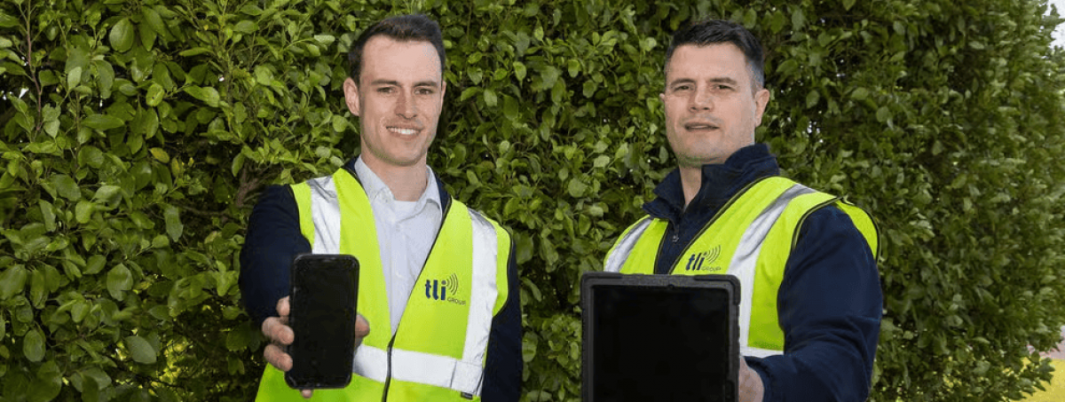
Esri Ireland’s digital mapping technology is helping infrastructure specialist TLI Group strengthen workplace safety and improve operational efficiency across major broadband, energy and telecommunications projects throughout Ireland.
According to the Belfast News Letter, the Holywood-based technology company’s ArcGIS location intelligence platform is being used by TLI Group to support nationally significant infrastructure programmes, including the National Broadband Plan, the rollout of smart electricity meters and the delivery of renewable energy connections.
The platform enables field teams and office-based staff to access the same real-time project information, improving collaboration, streamlining workflows and supporting faster operational decision-making across complex infrastructure projects.
A key feature of the implementation is a digital health and safety reporting system that allows workers to report potential hazards directly from site using mobile technology. Reported incidents and observations are immediately available to managers through live dashboards, enabling faster risk assessments and a more proactive approach to workplace safety.
TLI Group said the technology provides instant access to project information both in the field and in the office, allowing teams to identify emerging issues more quickly and respond before they develop into larger operational or safety concerns.
Paul Sweeney, GIS and Data Manager at TLI Group, said the ArcGIS platform provides extensive functionality while allowing the company to develop project-specific GIS services without requiring bespoke software development. He added that providing teams with live data through mobile applications enables faster identification of potential hazards and supports more effective risk assessments, helping reinforce the organisation's commitment to workplace safety.
The platform is also supporting engineering teams responsible for planning and monitoring underground construction works associated with connecting wind and solar farms to Ireland's electricity grid. By providing accurate location data and shared project visibility, the system helps coordinate activities across multiple infrastructure disciplines while reducing manual processes.
Jack French, Account Manager at Esri Ireland, said the deployment demonstrates how location intelligence can help organisations modernise operations and manage increasingly complex infrastructure projects more effectively. He noted that improved access to real-time information has streamlined processes, reduced administrative tasks and created a scalable foundation for future growth.
The implementation reflects the growing role of digital technologies in improving health and safety performance across the infrastructure sector, where real-time reporting, faster hazard identification and enhanced operational visibility are becoming increasingly important for organisations delivering large-scale engineering and construction projects.









.png)